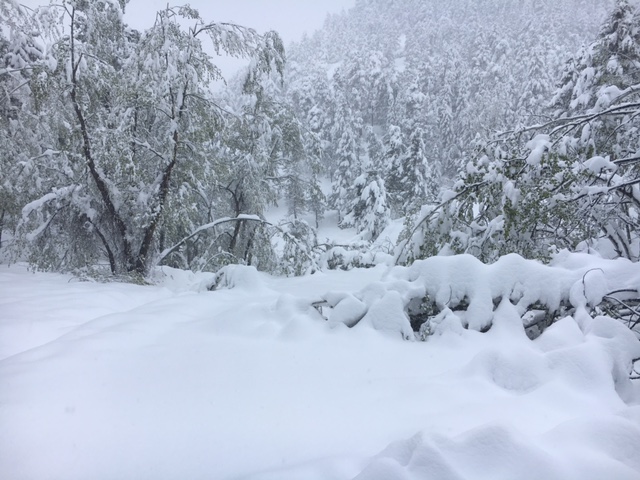
I’m over it. I’m really over another hot, dry summer day. Days like today make me long for that first snowstorm of the season. An avid skier, I look forward to those big, fat fluffy flakes falling. Anybody else wondering after months of dry weather, how much snow we might get?
Well, fortunately, I live with my own personal meteorologist, Bryon Lawrence. Bryon provided the following preview of our upcoming winter forecast. Enjoy!
Nederland, Colorado, 2018-2019 Winter Outlook
With the cold season just a few months away, the perennial question is, “How much snow will Nederland receive this winter?” One which make the ears of skiers everywhere perk up. When making seasonal forecasts, meteorologists rely on a separate set of techniques and data than those used for daily forecasts.
Annual changes in ocean temperature patterns influence atmospheric circulations around the world. Weather forecasters closely examine these patterns when making winter season forecasts. Why? Many decades of data have shown a correlation between oceanic temperature fluctuations and how severe winters are – for certain parts of the country.
The El Nino Southern Oscillation (ENSO) is the probably best known variable to influence winter weather. Strong warm phases (El Nino) and cold phases (La Nina) can greatly influence the winter storm track across the United States. However, ENSO is not the only kid on the block.
Others include the Pacific Decadal Oscillation (PDO), Arctic Oscillation (AO), North Atlantic Oscillation (NAO), and the Madden-Julian Oscillation (MJO). The combination of all of these influences our weather in sometimes unpredictable ways. Forecasting these ocean temperature patterns and basing long range weather forecasts on them is quite complicated.
The National Oceanic and Atmospheric Administration (NOAA) and the Farmer’s Almanac each produce winter outlooks using markedly different approaches. Many consider the Farmer’s Almanac forecast to be the more entertaining one to read, though!
My outlook is based on comparable winters here in Nederland which had similar strength El Ninos or La Ninas.
Last winter featured the lowest seasonal snowfall (110.1 inches) I have observed in the eight years living in Nederland. Coincidentally, the winter of 2010-2011 also only produced 114.5 inches of snow, well below average. The common dominator for both winters was a strong La Nina.
Conversely, the strong El Nino winter of 2016 brought the most snow, 193 inches for the season. Moderate phases of La Nina and El Nino tend to bring closer to normal snowfall – around 153 inches.
Considering that the Climate Prediction Center is forecasting a weak to moderate El Nino event this winter, a forecast of normal to slightly above normal snowfall for the northern foothills (including Nederland) seems logical. El Nino does bring an increased chance of strong upslope snowstorms in the fall and spring, with slightly warmer temperatures. On the plus side, El Nino winter tend to be less windy.
In summary, I expect:
- Seasonal snowfall to be in the 140-160 inch range with a few decent storms in the Fall and or Spring
- Temperatures to be near to slightly above normal
- Episodes of chinook winds to be less frequent than last winter (yay!!)
To see the monthly average temperatures and precipitation for Nederland, visit: http://www.indianpeaksweather.net/nederland-climatology/
And remember, long range forecasts are always difficult. One big storm can skew the overall data.
Sometimes you are better off counting the dark and tan bands on a wooly bear caterpillar…