Whenever the Weather Service forecasts a “big” snowstorm, I tend to be skeptical. Mainly because many of their forecasts are busts, and I’m greatly disappointed. Also, a lot of our bigger snowstorms haven’t been forecast until hours before the storm. As Mark Twain, “Climate’s what you expect, weather’s what you get.”
Weather in Colorado surely is a box of chocolates, bringing extremes of all kind.
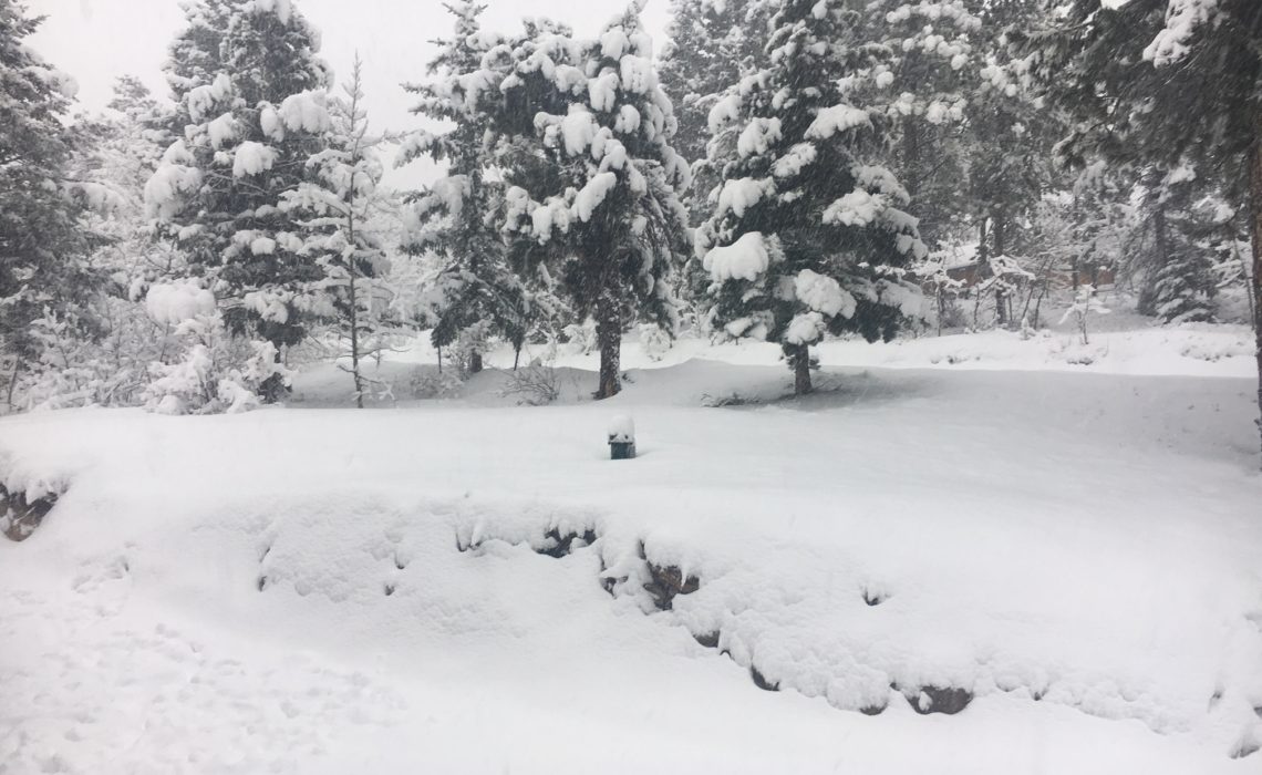
But it turned out our “bomb” cyclone was historic in terms of strength of the storm, and it also blessed Nederland with copious amounts of snow — upwards of 17 inches depending on where you lived. Yay for snow!
But not yay for snow blowing. The snow that fell created a heavy, dense layer that settled onto our driveway. It took Bryon two hours of pushing our antiquated snowblower to clear it.
It also brought some impressive wind speeds to the entire Front Range. How often do you see semi-trucks being blown sideways off a highway? In fact, it was only the fourth time that Denver International Airport completely closed down. Bless those poor people curled upon those blue chairs trying to catch some shut eye tonight!
Even though the storm was considered historic, in terms of total snowfall, it only came in tenth biggest. We’ve had many other bigger snowstorms upwards of 30 inches or more since we moved here. But don’t give up hope! Most of those storms occurred in March, April and even May. There’s plenty of time for more snow in the weeks to come.
Since my husband is vastly smarter about all thing meteorology, I’m copying part of his post from his blog, www.indianpeaksweather.net, to give you the scientific breakdown of the storm.
“Many meteorologists, myself included, thought that down sloping would limit snowfall in the foothills. Normally, when you have a strong storm in eastern Colorado, that is exactly what happens.
However, this was no ordinary storm. It met and exceeded the definition of a meteorological “bomb”. It also set an “unofficial” all time low pressure record at Pueblo, Colorado, where the pressure dipped down to 975.1 mb. The previous low recorded pressure there was 976.6 mb. We are talking well over 100 years worth of observations at Pueblo. This may also be the lowest pressure recorded in Colorado weather history.
Truly a once in a lifetime storm.
In the end, this storm had so much moisture and dynamic energy, that the northern front range foothills were targeted for many hours by a warm, moist tongue of moisture wrapping around the back side of the storm as it slowly exited into the Plains states. This “tongue” of warm, moist air is sometimes referred to as a TROWAL (Trough of Warm Air Aloft). Because of this, we saw snowfall rates of up to 3 inches per hour at times.”
There you have it — another historic weather event in Colorado.